Plex-Earth Resources
News, tips, guides & tutorials
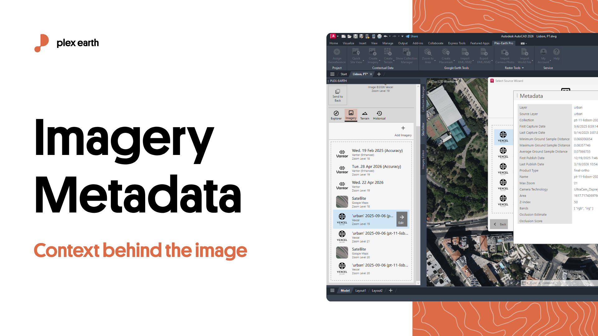
Imagery Metadata Explained: Key Details & Where to Find Them
Premium imagery in Plex-Earth from Vexcel, Airbus, and Vantor comes with more than pixels. Each one carries metadata, a record of when, how, and with what accuracy it was captured. Reading it is the difference between picking imagery on gut feel and picking it for reasons you can defend.
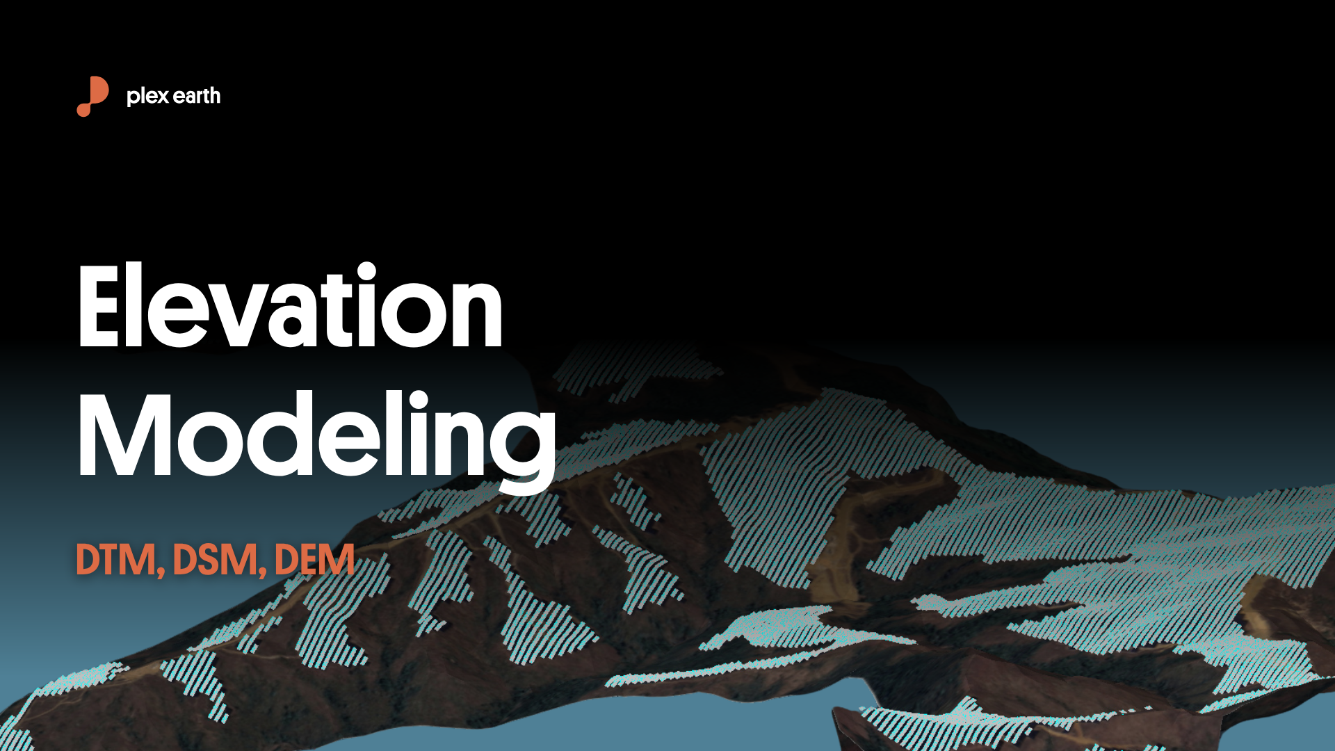
Elevation modeling: DTM, DSM, DEM explained
DEM, DTM, and DSM are not interchangeable, but elevation data providers treat them as if they are. Using the wrong surface type, like a DSM where a DTM is required, for example, means your calculations are running off vegetation or rooftop heights, not the ground. By the time that error surfaces in the model, you're looking at rework. This post breaks down what each term actually means, how providers use them inconsistently, and how to verify what you're working with before it costs you.
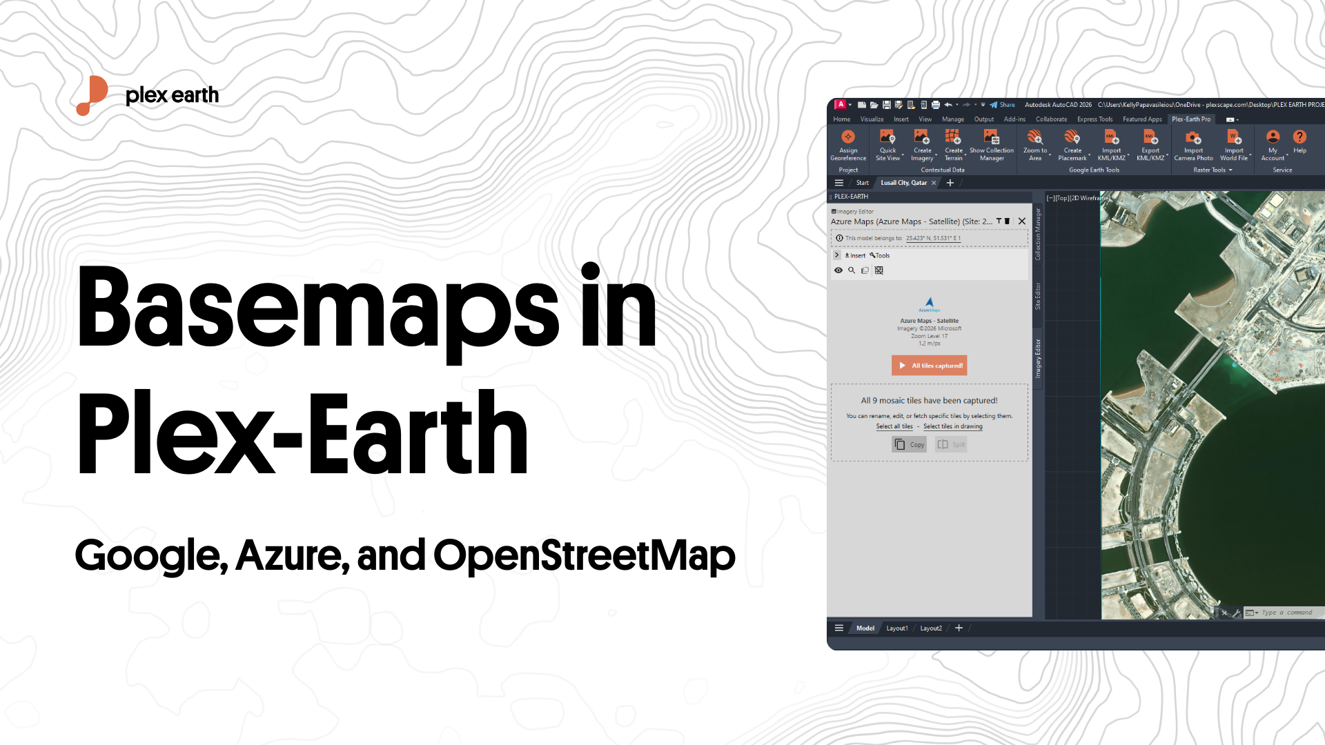
Choosing the Right Basemap in Plex-Earth: Google, Azure, or OpenStreetMap
Not all basemaps perform the same in a CAD environment. This guide breaks down the three built-in providers available in Plex-Earth, Google Maps, Azure Maps, and OpenStreetMap, covering coverage quality, resolution limits, and the right use case for each. It also covers when to connect a regional WMS service or step up to a premium provider like Nearmap or Hexagon.
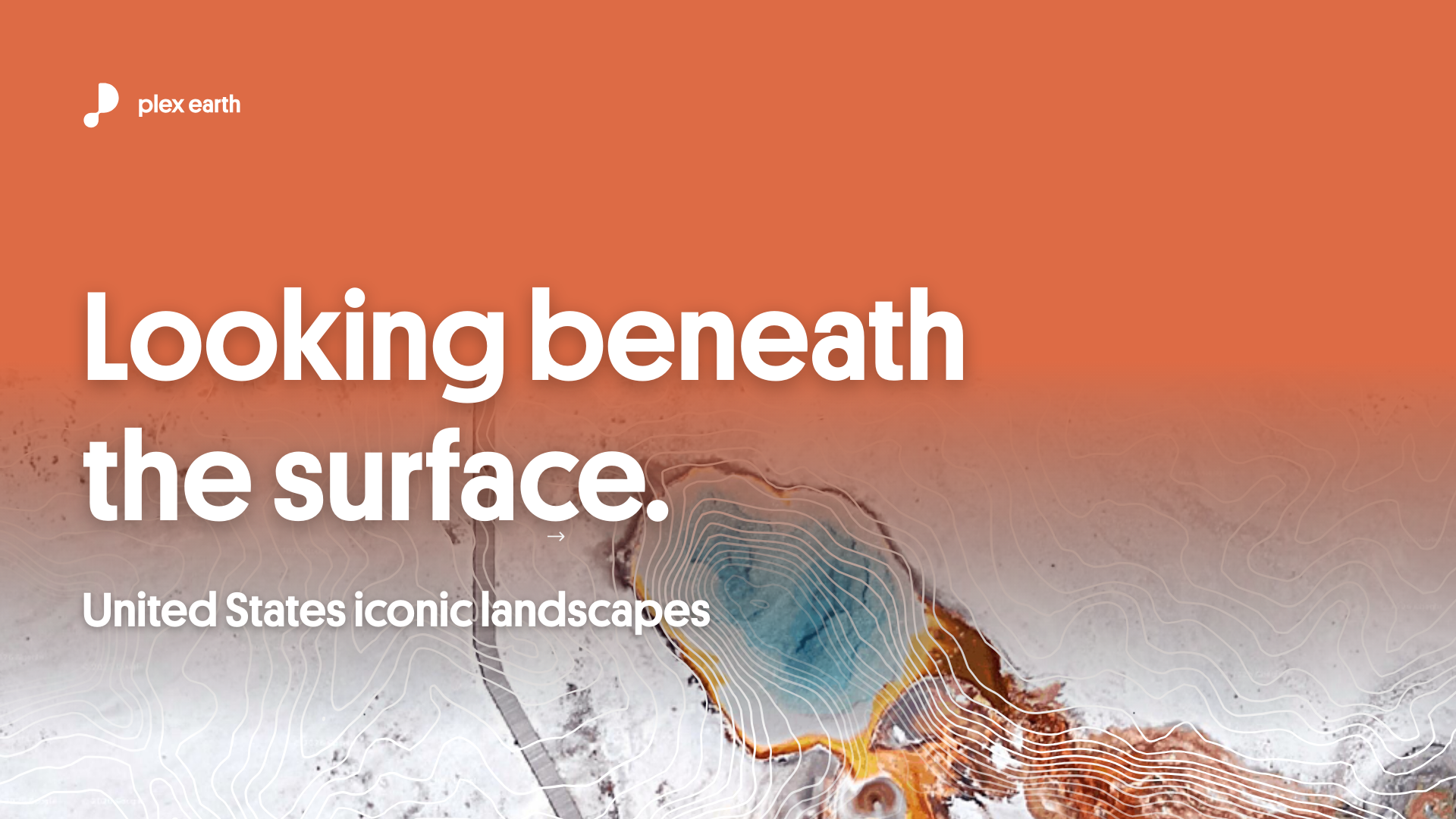
Looking Beneath the Surface: United States iconic landscapes
In this post, we’re going to borrow four iconic US landscapes to surface four questions engineers should always ask early.
What’s changing over time?
How steep is this, really?
How current (and visible) is my context?
How does water move here?
The reason why this is important is simple. In the early phase of any project, the design decisions are still reversible, and having a solid plan-B in place can save you a fortune later on.
To make this point, we’ll use some iconic locations to demonstrate why bringing the right data into your design environment early makes such a difference.
The US is a great playground for this because the data ecosystem is strong: NAIP imagery, USGS 3DEP elevation, Google Elevations, plus a growing set of premium providers. The coverage is there, so the data availability isn’t the gap. It’s when and how we use that data to influence real design decisions, before we commit to the design.
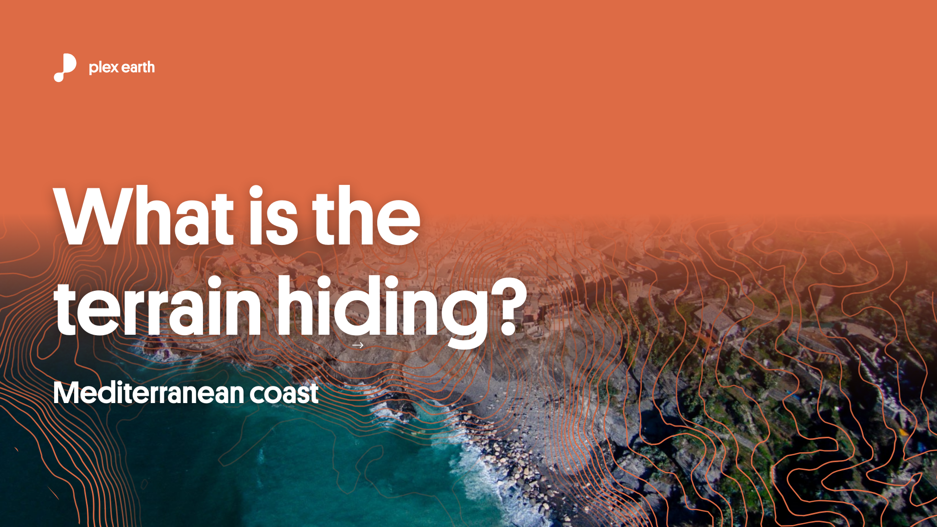
What the terrain is hiding: Mediterranean coast
Mediterranean coastlines can look deceptively simple in imagery — until a storm, slope failure, or drainage problem exposes what’s happening underneath. This article shows how importing reliable terrain data into CAD (fast) helps you spot hidden risk early, using Cinque Terre, Ria Formosa, and Valencia as real examples.