Plex-Earth Resources
News, tips, guides & tutorials
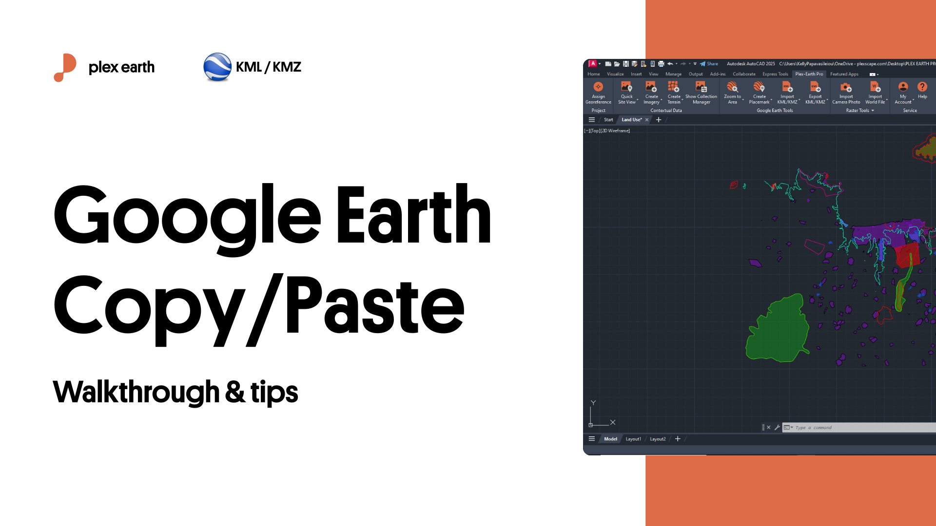
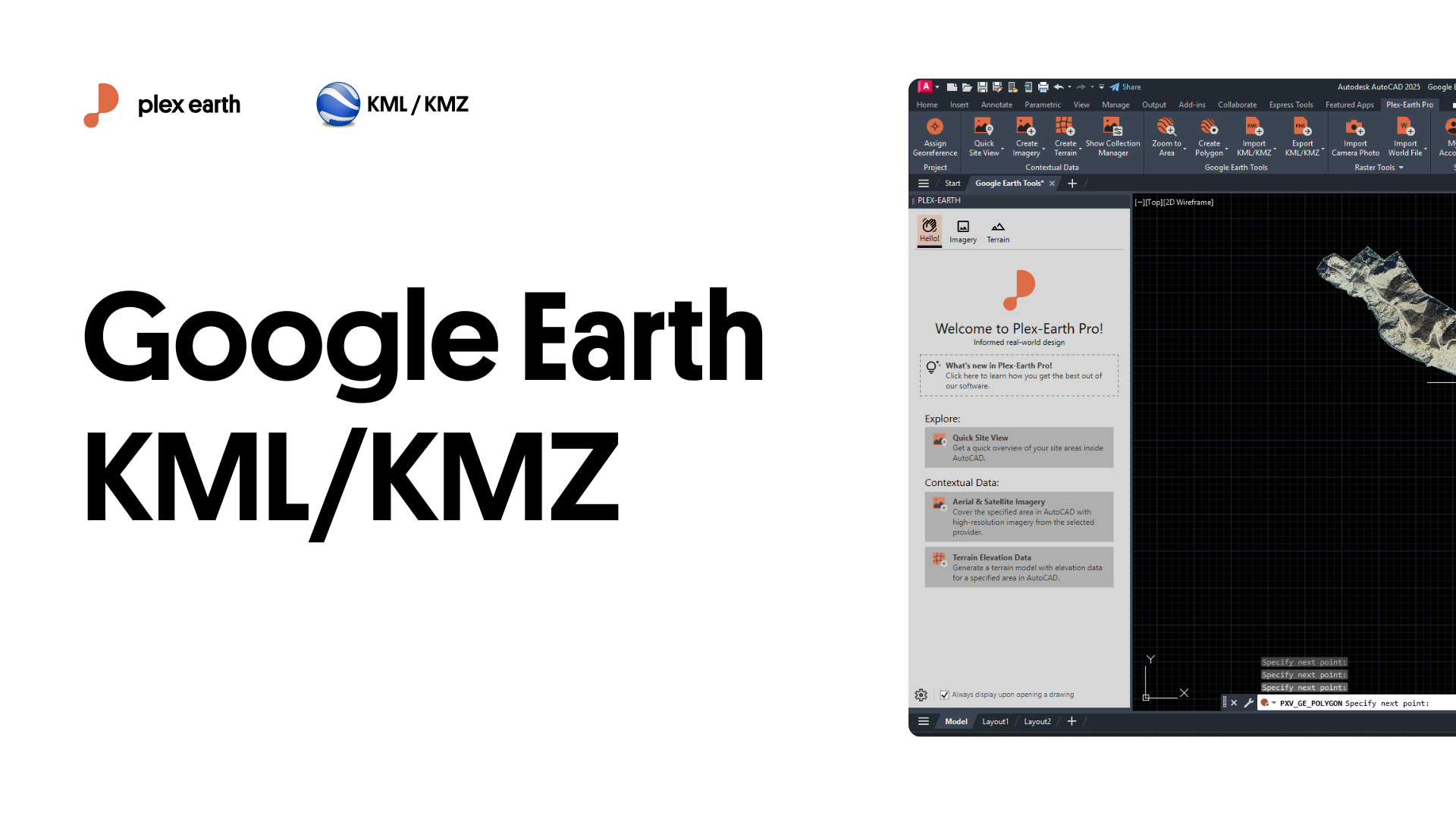
Google Earth KML/KMZ Workflow Guide
If you ever had to explain a CAD drawing to someone who doesn’t speak CAD, or to a cross-functional team that all have their own interpretation of the site, this article is for you.
We can all agree “imagine the road here” is not something you want to say out loud in a stakeholder meeting, but getting the clarity on where the design sits in the real world is impossible without the right visual aid.

How to create live tours in Google Earth, for your AutoCAD design, with Plex.Earth
Showcasing your AutoCAD design to Google Earth and sharing it with others can be vital for your project: Winning that customer, taking instant feedback, convincing local authorities/communities and shareholders for your design.
What about not just exporting your design but also creating realistic videos and immersive live tours in Google Earth?
We have created a tutorial to show you how you can easily do that with Plex.Earth to engage anyone you want from the early stages of your design, reducing subsequent and unproductive iterations that cost you time and money.