terrain

How to create terrain contours with Plex.Earth

contours plexearth .jpg

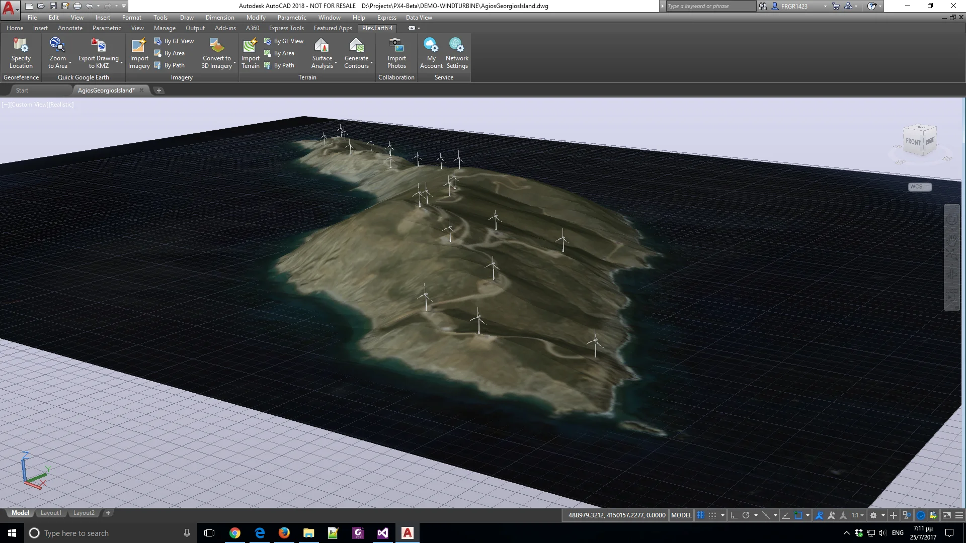
With Plex.Earth 4, you can visualize terrain morphology with elevation contours and import thousands of terrain elevation points into AutoCAD, automatically and incredibly quickly.

We have created a detailed tutorial to guide you through the process of creating contours easily with Plex.Earth 4.

For a detailed guide on how to import terrain, check our post on our support section.

You are one step away from focusing on what matters most: your design. Start your free trial today and watch this space for more!

How to 3D print terrain created with Plex.Earth 4 (Civil 3D users)

PHOTO 3D PRINT TERRAIN.jpg

Most 3D printing professionals, like Aristeidis Loukrizis (read his story here) have to visualize the surrounding environment and represent the terrain morphology of a project area to reproduce it in their final 3D printed models - a process that is time-consuming and prone to errors.

However, they can overcome these difficulties and create the desired 3D printed models with Plex.Earth, easily and quickly.

We’ve prepared a detailed tutorial to guide you step by step on how to create a 3D solid object from your imported terrain with Plex.Earth, before exporting it as an .stl file which is proper for 3D printing.

Read it through and stay tuned for more technical resources and tutorials.

You can also unlock Plex.Earth’s 4 powerful capabilities by starting your free trial today!

Plex.Earth: Import 3D terrain and imagery from Google Earth to AutoCAD

Plex.Earth: Import 3D terrain and imagery from Google Earth to AutoCAD

For the last months, our development team has been very busy in building the new version of our flagship product, Plex.Earth 4.

We're all excited having added some unique features to our software, and although our new version is in beta version, we would like to share a sneak peek at these new capabilities.