Plex.Earth: Import 3D terrain and imagery from Google Earth to AutoCAD

Plex.Earth: Import 3D terrain and imagery from Google Earth to AutoCAD

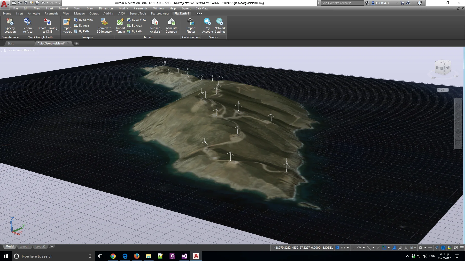
For the last months, our development team has been very busy in building the new version of our flagship product, Plex.Earth 4.

We're all excited having added some unique features to our software, and although our new version is in beta version, we would like to share a sneak peek at these new capabilities.

The Problem is the Opportunity

Will you be around Athens' center this weekend? If so, don't miss the chance to be in the Startup Safary. Plenty of events will take place, with many interesting people from various disciplines.

We're going to be there and share our experience on what it takes to create an internationally best-selling product out of an everyday problem.

Are you looking for the push you need to transform your solution into a business opportunity?

Do you need to overpass technical or business-related obstacles? We've been through all of this, creating and evolving Plex.Earth, so, we'll be very glad to meet and talk with you!


Children making their town prettier

plexearth_plexscape_town.jpg

Last week we spent a couple of days in Ioannina, one of the most beautiful cities in Greece, well known for its history and amazing natural beauty.

Also, it's a city full of energy. There, a bunch of children, from a very active local art school, put their best to transform the front wall of an abandoned building into a point of interest for the whole town.

Kids grabbed a paintbrush and gave an immediate answer to a very critical question: how can we make our life prettier?